

EDDMapS West app for iPhone and iPad
Developer: Charles T. Bargeron
First release : 29 Nov 2011
App size: 572.33 Mb
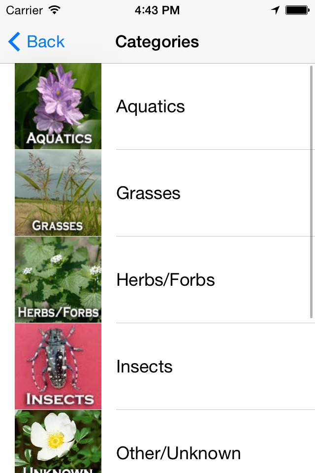
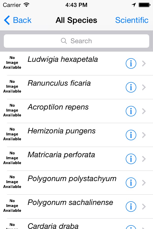
EDDMapS is a national web-based mapping system for documenting invasive species distribution. It is fast, easy to use and doesnt require Geographic Information Systems experience. Launched in 2005 by the CISEH, it was originally designed as a tool for state Exotic Pest Plant Councils to develop more complete distribution data of invasive species. EDDMapS goal is to maximize the effectiveness and accessibility of the immense numbers of invasive species observations recorded each year. EDDMapS combines data from other databases and organizations as well as volunteer observations to create a national network of invasive species distribution data that is shared with educators, land managers, conservation biologists, and beyond. As of November 2011, EDDMapS has over 1.5 million records. This data serves as the foundation for a better understanding of invasive species distribution around the world.
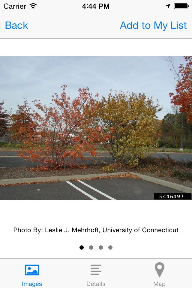
On September 28, 2010, the MRWC and CISEH launched the MRWC-EDDMapS – a customized system that focuses on species that are new or potential new invaders to the Coalition states, and that provides a means of reporting new sightings of select invasive species, a mechanism for alerting appropriate individuals to the reports, and generates distribution maps for the reported species.
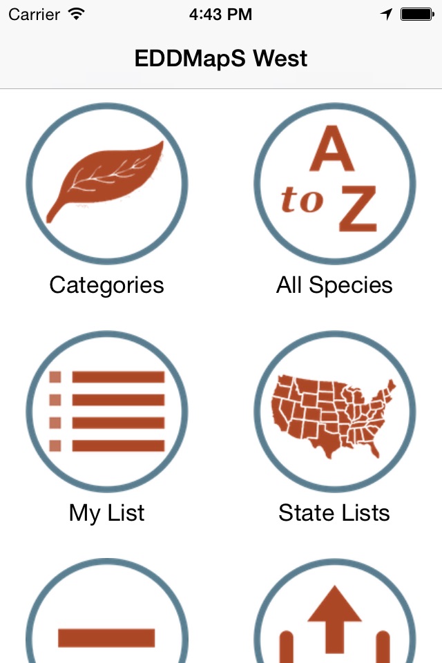
In 2013, MRWC EDDMapS was renamed EDDMapS West.